


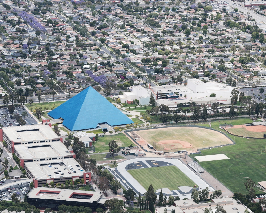
Cal State Long Beach
GIS Utility Mapping
-
Location
Long Beach, CA
-
Project Dates
November 2015 – March 2017
-
Market
Public University
-
Read More
GIS utility mapping gives university staff an edge in effective utilities management
-
Project Overview
Read MoreA Geographic Information System (GIS) is a computer system used to capture, manage and display geographically referenced information. GIS provides the ability to visualize where places or features are and analyze changes and relationships in the form of maps and reports. Our team provided GIS utility mapping services for CSU Long Beach, giving university personnel invaluable reference information regarding their utility systems and equipment, in addition to aiding and updating various campus wide infrastructure upgrades.
-
Solution
Read MoreTo build a complete picture of CSULB’s utilities, we had to gather information from all available sources and compile it on a GIS platform. Accordingly, the project involved an aerial topography survey, extensive review of all existing campus “as-builts”, review of relevant public “as-builts” for city streets bordering the university, numerous utility field investigations at critical campus locations and face-to-face meetings with university facilities staff. We used all this information to develop utilities plans in AutoCAD and then transfer into GIS format for their use. The utility systems included: domestic, fire and recycled water systems; sewers and storm drains; mechanical and electrical systems and natural gas and telecommunications systems.