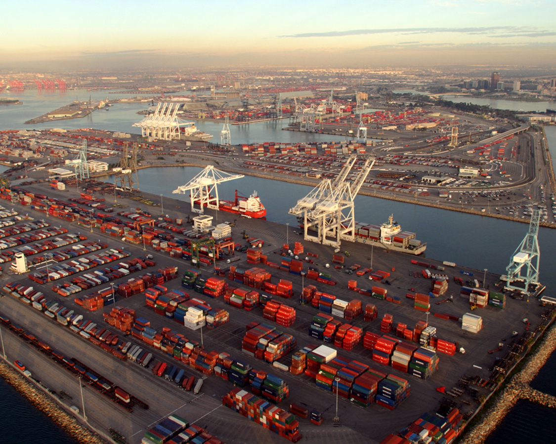
Port of Long Beach
GIS Utility Mapping & Updates
-
Location
Long Beach, CA
-
Market
Ports & Harbors
-
Project Overview
Read MoreP2S assisted the Port of Long Beach when they needed to update their electrical GIS database. The port had been filing as-built sheets and CAD files with important utility infrastructure information without effective sorting and labeling. The P2S GIS team is experienced in paper and electronic document organization and labeling. Our team helped the port upgrade its database to be a much more effective resource.
-
Solution
Read MoreThe team went through all the port's files and compared them to the existing GIS database. We found that information was often missing or incorrect. The team went about verifying and updating the GIS database files with any missing data and updated both linework and attribute values. The end result was a much more accurate, searchable and valuable map and database that the port could comfortably reference for utility infrastructure information.